

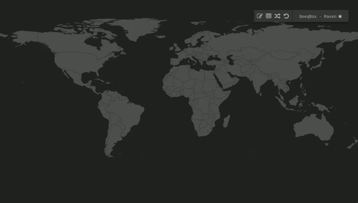
Raven – An Advanced Cyber Threat Map (Simplified, customizable and responsive). And, can be used in an isolated environments without interacting with external lookups!
This project uses D3.js not Anime.js, it has ALL the countries, has around ~100,000 embedded cities, can be used offline, does not interact with APIs, and colors are based on the ixora visulaiztion package.
Live – Demo
https://qeeqbox.github.io/raven/index.html
Offline – Demo
Features
- Active threat map (Live and replay)
- IP, country, city, and port info for each attack
- Attacks stats for countries (Only known attacks)
- Responsive interface (Move, drag, zoom in and out)
- Customize options for countries and cites
- 247 countries are listed on the interface
- Optimized worldmap for faster rendering
- Includes IP lookup, port information
- Random simulation (IP, country, city)
Functions
Init the worldmap
qb_raven_map()                      //raven object constructor takes the following:

svg_id                              //SVG ID
world_type                          //round or 2d
selected_countries = []             //List of ISO_3166 alpha 2 countries that will be selected
remove_countries = []               //List of ISO_3166 alpha 2 countries that will be removed from the map
height                              //height of the worldmap
width                               //width of the worldmap
orginal_country_color               //Hex color for all countries
clicked_country_color               //Hex color will be applied to any clickable countries
selected_country_color              //Hex color will be applied to any selected countries
countries_json_location             //Countries JSON file (qcountries.json)
cities_json_location                //Cities JSON file (qcities.json)
global_timeout                      //Global timeout for animation
db_length                           //Size of the db that stores attack events
global_stats_limit                  //Limit attack stats of a country
verbose                             //Verbose output should be off unless (use only for debugging)

raven = new qb_raven_map("#qb-worldmap-svg", null, [], ["aq"], window.innerHeight, window.innerWidth, "#4f4f4f", "#6c4242", "#ff726f", "qcountries.json", "qcities.json", 2000, 100, 10, true)

raven.init_world()                  //Init the worldmap (The worldmap should be ready for you to use at this point)
Plotting data
raven.add_marker_by_name()          //Plot info by country or city name
raven.add_marker_by_ip()            //Plot data by IP address
raven.add_marker_by_coordinates()   //Plot data by coordinates

marker_object                       //An object {'from':'','to':""} see examples
colors_object                       //An object {'line: {'from': ''#FF0000','to': 'FF0000'}} this the color of the line between 2 points - (if null, then a random color will be picked)
timeout                             //Animation time out
marker = []                         //A list of animation marker, use ['line'] for now

raven.add_marker_by_name({'from':'seattle,wa,us','to':'delhi,in'},{'line':{'from':null,'to':null}},2000,['line'])
raven.add_marker_by_ip({'from':'0.0.0.0','to':'0.0.0.0:53'},{'line':{'from':'#FF0000','to':'#FF0000'}},1000,['line')
raven.add_marker_by_coordinates({'from':['-11.074920','-51.648929'],'to':['51.464957','-107.583864']},{'line':{'from':null,'to':'#FFFF00'}},1000,['line'])
Plotting data + adding it to the output table
raven.add_to_data_to_table()        //Plot info and add them to the output table

method                              //Name, IP or coordinates
marker_object                       //An object {'from':'','to':""} see examples
colors_object                       //An object {'line: {'from': ''#FF0000','to': 'FF0000'}} this the color of the line between 2 points - (if null, then a random color will be picked)
timeout                             //Animation time out
marker = []                         //A list of animation marker, use ['line'] for now

raven.add_to_data_to_table('name',{'from':'seattle,wa,us','to':'delhi,in'},{'line':{'from':null,'to':null}},2000,['line'])
raven.add_to_data_to_table('ip',{'from':'0.0.0.0','to':'0.0.0.0:3389'},{'line':{'from':'#FF0000','to':'#FF0000'}},1000,['line')
raven.add_to_data_to_table('coordinates',{'from':['-11.074920','-51.648929'],'to':['51.464957','-107.583864']},{'line':{'from':null,'to':'#FFFF00'}},1000,['line'])
Timeline
- Optimize the IP filters <- queued for testing (If you run this in an isolated environment, it should not be an issue)
Resources
- Wikipedia, naturalearthdata, d3.js, topojson, jquery, font-awesome, OSINT package, iana, geonames, AFRINIC, APNIC, ARIN, LACNIC and RIPE
- Let me know if I missed a reference or resource!
Disclaimer\Notes
- Please spend sometime understanding how this project works before of opening issues or leaving any sort of enquiries
- If you want to see other examples of worldmaps that do not have all the features listed in project (Google search -> world map dark)