
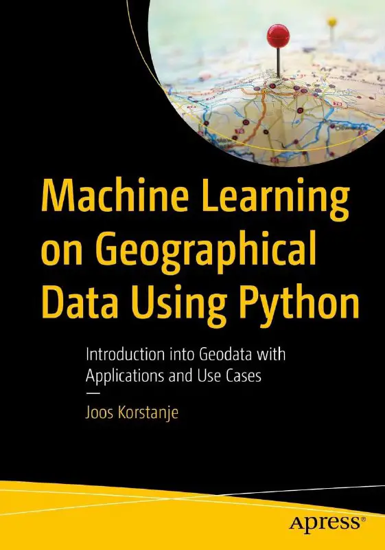
Machine Learning on Geographical Data Using Python Introduction into Geodata with Applications and Use Cases
Introduction to Geodata
Mapmaking and analysis of the geographical environment around us have been present in nature and human society for a long time. Human maps are well known to all of us: they are a great way to share information about our environment with others.
Yet communicating geographical instructions is not invented only by the human species. Bees, for example, are well known to communicate on food sources with their fellow hive mates. Bees do not make maps, but, just like us, they use a clearly deined communication system.
As geodata is the topic of this book, I ind it interesting to share this out-of-the-box geodata system used by honeybees. Geodata in the bee world has two components: distance and direction.
Honeybee distance metrics
- The round dance: A food source is present less than 50 meters from the hive.
- The sickle dance: Food sources are present between 50 and 150 meters from the hive.
- The waggle (a.k.a. wag-tail) dance: Food sources are over 150 meters from the hive. In addition, the duration of the waggle dance is anindicator of how far over 150 meters the source is located.
Honeybee direction metrics
- Although more complicated, the angle of the dance is known to be an indicator of the angle relative to the sun that bees must follow to get to their food source.
- As the sun changes location throughout the day, bees will update each other by adapting their communication dances accordingly.
The human counterpart of geographical communication works a bit better, as we have compasses that point to the magnetic north. Those of you who are familiar with compass use, for example, on boats, may know that even using a compass is not a perfect solution.
The magnetic north changes much less than the position of the sun. What is interesting though is that the magnetic north and the true north are not located at the same exact place. The true north is a ixed location on the globe (the so-called North Pole), but compasses are based on magnetism and therefore point to the magnetic north: a location that moves a little bit every year
If you are navigating a ship with a compass, you will constantly need to do calculations that convert your magnetic direction measurements into true direction measurements by adding magnetic variation, which is a value that changes depending on where you are on earth.
Reading Guide for This Book
As you will understand from these two examples, working with geodata is a challenge. While identifying locations of points by coordinates may appear simple, the devil really is in the details.
The goal of this book is to go over all those details while working on example code projects in Python. This should give you the fundamental knowledge needed to start working in the interesting domain of geodata while avoiding mistakes. You will then discover numerous ways to
represent geodata and learn to work with tools that make working with geodata easier.
After laying the basis, the book will become more and more advanced by focusing on machine learning techniques for the geodata domain. As you may expect, the speciicities of the use of geodata make that a lot of standards techniques are not applicable at all, or in other cases, they may need speciic adaptations and conigurations.
















Leave a Reply